About This Service
Record of Survey documents are official maps filed with the county recorder that establish or reestablish property boundaries. These legal documents become part of the public record and protect property rights.
What's Included
Frequently Asked Questions
Other Services
- ALTA/NSPS Land Title Surveys
- Topographic Survey
- Boundary Survey
- Utility Survey
- Right-of-Way Survey & Route Survey
- As-Built Survey
Ready to Get Started?
Submit your project details and get a free quote within 24 hours.
Or get a free sample drawing firstRecent Record of Survey (ROS) Examples
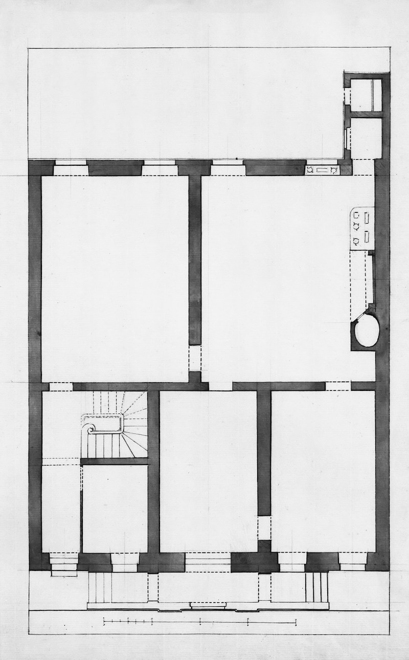
Record of Survey - Subdivision Filing
Sacramento, California
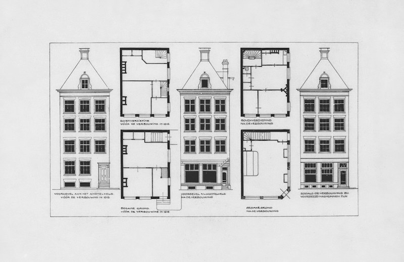
Monument Record Survey
Portland, Oregon
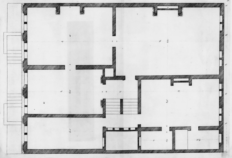
Boundary Reestablishment Record
Salt Lake City, Utah
County Filing Documentation
Denver, Colorado
List of Items We Cover in Our Drafting
This is an indicative list.
- Linework
- Rotations
- Labelling
- Legal descriptions
- Flood zone
- Easements
- CAD Conversion
- Plats
- Sectional infractions
- Metes & bounds
- Image Tracing
- Raster to CAD
- Sewer Lines
- Underground Utilities
- Schedule B's & Exceptions
- Table A items
- Certifications
- Zoning
- Construction drawings
Our Land Survey CAD Drafting Workflow
We follow a clear, structured process to ensure smooth project initiation and successful delivery.
Submit Your Data
Send us your field data, point files, sketches, or raw survey files through our secure upload portal.
Review & Quote
Our team reviews your requirements and provides a detailed quote with timeline within 2 hours.
Drafting Process
Our expert CAD technicians create precise drawings following your templates and standards.
Quality Check
Every drawing goes through rigorous QC to ensure accuracy and compliance with industry standards.
Delivery
Receive your quality-checked CAD files in your preferred format (DWG, DXF, PDF).
Documents We Need To Get Started
To ensure smooth project initiation, please provide the following documents.
Preliminary Standard Review
- Example .dwg files
- Example .pdfs
- Templates (all sizes)
- Point Codes
- Special notes if any
- Software Preference
Project Completion Documents
- Point file (Pnez, pnz, ascii, etc.)
- Geo-Referenced Ortho mosaics (if available)
- Site images
- Prior surveys (if available)
- Field Sketches
- Plat Maps
- Deed
- Legal Documents
Project Sharing Platforms
- DropBox
- OneDrive
- Client Project Management Systems
- FTPs
- Cloud Platforms
Software Expertise
We work with industry-leading CAD and survey software to deliver high-precision results.
Autodesk Civil 3D
AutoCAD LT
Carlson Survey
Bentley MicroStation
Leica Cyclone 360
Revit
Pix4D
Global Mapper
Get Started with Record of Survey (ROS) Drafting Today
Ready to elevate your Record of Survey (ROS) projects? Whether you're an individual land surveyor or a surveying firm, Survey Drafts delivers precision, on-time CAD drawings that meet your exact standards.
Let's Work Together on Your Record of Survey (ROS) Project!
Partner with Survey Drafts for accurate, reliable Record of Survey (ROS) CAD drafting services. Our experienced team delivers precision drawings that meet industry standards and your project requirements.
- Expert Record of Survey (ROS) drafting
- Quick 24-48 hour turnaround
- Industry-standard CAD files
- 100% satisfaction guarantee
Quick Contact
Looking for other services?
View All Services